The Merrimac River rises at the confluence of the Pemigewasset and Winnipesaukee rivers in Franklin, New Hampshire, flows southward into Massachusetts, and then flows northeast until it empties into the Atlantic Ocean at Newburyport. It's used by vessels of about 12-foot draft at high water in Newburyport and 6-foot draft at high water up to Haverhill. The river has virtually no commercial traffic. In Newburyport, the shifting bar at the entrance to the river is usually dangerous to cross in heavy weather. The whole entrance breaks in easterly gales and is known to have the swiftest current on the eastern seaboard. A lighted fairway whistle buoy, about 1 mile off the jetties marks the approach.
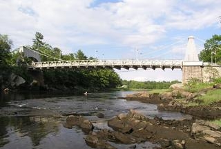
Gillis Bridge, Newburyport / Salisbury
The Newburyport US1 Gillis drawbridge, mile 3.4, crosses Newburyport Harbor between Newburyport and Salisbury. It has a vertical clearance of 35 feet at mean high water and 42 feet at mean low water in the closed position. The U.S. Coast Guard recently approved a new schedule for the drawbridge operation which is as follows:
From May 1 through November 15, from 6 a.m. to 10 p.m., the draw opens on signal; except that, from Memorial Day through Labor Day, from 6 a.m. to 10 p.m., the draw opens on signal only on the hour and half-hour.
At all other times the draw opens on signal after at least a one-hour advance notice is given by calling the number posted at the bridge.
The bridge operator monitors VHF Channel 13